Tropical Storm Ian Public Advisory 4PM
SUMMARY OF 500 PM EDT…2100 UTC…INFORMATION
———————————————-
LOCATION…16.2N 80.3W
ABOUT 220 MI…355 KM SSE OF GRAND CAYMAN
ABOUT 495 MI…795 KM SE OF THE WESTERN TIP OF CUBA
MAXIMUM SUSTAINED WINDS…45 MPH…75 KM/H
PRESENT MOVEMENT…WNW OR 300 DEGREES AT 12 MPH…19 KM/H
MINIMUM CENTRAL PRESSURE…1003 MB…29.62 INCHES
WATCHES AND WARNINGS
SUMMARY OF WATCHES AND WARNINGS IN EFFECT:
A Hurricane Warning is in effect for…
* Grand Cayman
A Tropical Storm Warning is in effect for…
* Cuban provinces of La Habana, Mayabeque, and Matanzas
A Tropical Storm Watch is in effect for…
* Little Cayman and Cayman Brac
DISCUSSION AND OUTLOOK
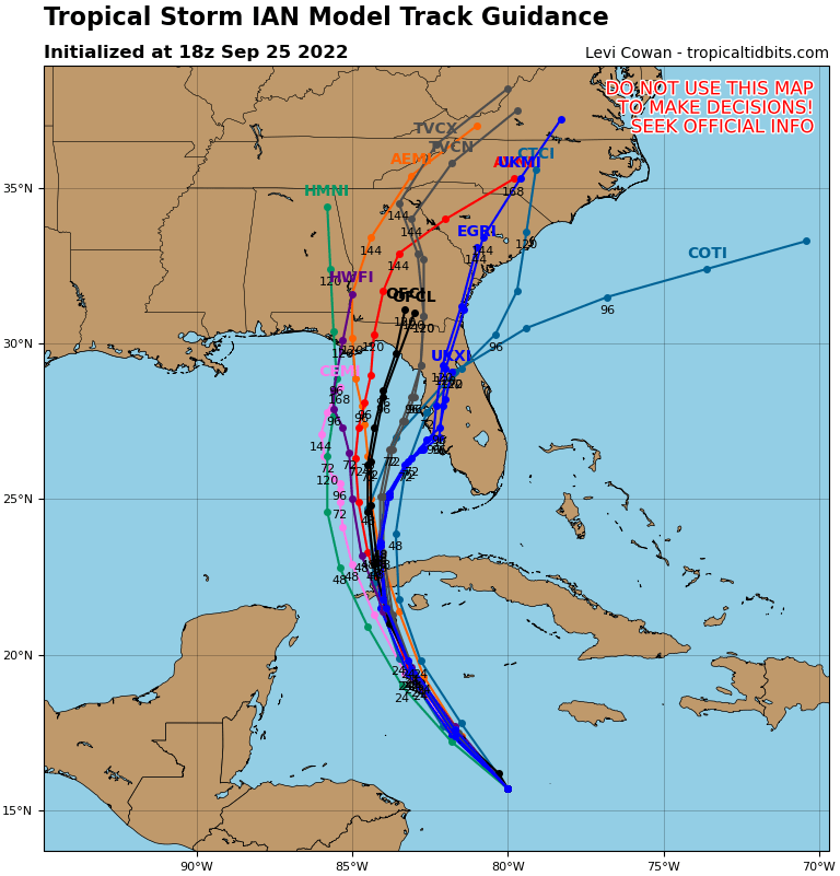
At 500 PM EDT (2100 UTC), the center of Tropical Storm Ian was located near latitude 16.2 North, longitude 80.3 West. Ian is moving toward the west-northwest near 12 mph (19 km/h). A turn toward the northwest is expected tonight, followed by a north-northwestward motion on Monday and a northward motion on Tuesday with a slightly slower forward speed. On the forecast track, the center of Ian is expected to pass near or west of the Cayman Islands on Monday, and near or over western Cuba Monday night and early Tuesday. Ian will then emerge over the southeastern Gulf of Mexico on Tuesday. Maximum sustained winds are near 45 mph (75 km/h) with higher gusts. Some strengthening is forecast tonight, followed by more rapid strengthening on Monday and Tuesday. Ian is forecast to become a hurricane on Monday and a major hurricane on Tuesday. Tropical-storm-force winds extend outward up to 35 miles (55 km) from the center. The estimated minimum central pressure is 1003 mb (29.62 inches).
Tropical Storm Ian 4PM Update
A Hurricane warning means Hurricane force winds are likely by 36 hours.
Issued: Sunday 25th September – 4PM
CURRENT STORMS INFO:
As of 4PM, Tropical Storm Ian was located at 16.2N and 80.3W of about 220 miles SSE of Grand Cayman with maximum sustained winds of 45 mph. Tropical Storm Ian is moving towards the WNW at 12 mph with minimum central pressure of 1003mb / 29.62 inches.
BASED ON LATEST FORECAST TRACK
The Onset of Tropical Storm Force Winds for:
· Grand Cayman is: Mon Sep-26, 5:00 AM
The closest point of approach:
· Center is 85 miles SW of Grand Cayman: Mon Sep-26, 8:00 AM
End of Tropical Storm force winds for:
· Grand Cayman is: Mon Sep-26, 3:00 PM
IF THE STORM CONTINUES ON ITS LATEST FORECAST TRACK
Expected weather conditions for the Cayman Islands:
Grand Cayman:
Overcast skies with widespread thunderstorms are expected from Sunday evening with tropical storm conditions by early Monday morning as the system nears the Cayman Islands. Extremely rough seas accompanied by storm surge are also expected. Swells generated by Ian will spread into the Cayman area later today.
Sister Islands:
Overcast skies along with widespread thunderstorms are expected from Sunday evening as Tropical Storm Ian moves closer to the Cayman Islands. Extremely rough seas along with swells and storm surges are also expected. Given the adjustments to forecast track the possibility for storm force winds are lower for the Sister Islands.
WARNINGS
A FLOOD WARNING WILL BE IN EFFECT FOR THE CAYMAN ISLANDS
Estimated Rainfall Amount per Day
Sunday Sep. 25: 25.4 to 50.8 mm (1 – 2 inches)
Monday Sep. 26: 50.8 to 101.6 mm (2 – 4 inches)
Tuesday Sep. 27: 25.4 to 50.8 mm (1 – 2 inches)
GUSTY WINDS ARE EXPECTED FOR THE CAYMAN ISLANDS
Estimated Wind direction and Speeds – (Beginning Sunday night)
Grand Cayman
Sunday Night: SE at 20 to 30 mph
Monday Morning: 40 to 45 mph with higher gusts
Monday Afternoon: 25 to 35 mph
Monday Evening: 20 to 25 mph
Sister Islands
Sunday: 15 to 20 mph with higher gusts
Monday: 20 to 25 mph with higher gusts
A MARINE WARNING WILL BE IN EFFECT FOR THE CAYMAN ISLANDS. ALL MARINE CRAFT SHOULD SEEK AND REMAINS IN SAFE HABOUR.
Estimated Wave Heights
Sunday Sep. 25: 6 to 8 feet especially along the south coast.
Monday Sep. 26: 9 to 12 feet especially along the south and west coast.
Tuesday Sep. 27: 6 to 8 feet especially along the south and west coast.
Swells of 5 to 7 feet are likely along with 1 to 3 feet of storm surge.
THE NEXT BULLETIN WILL BE ISSUED AT 10:00 PM Sunday 25-SEP-2022.
END