13 Jul Weather in Cayman & Tropical Report
13 Jul Mon 2020

TROPICAL REPORT
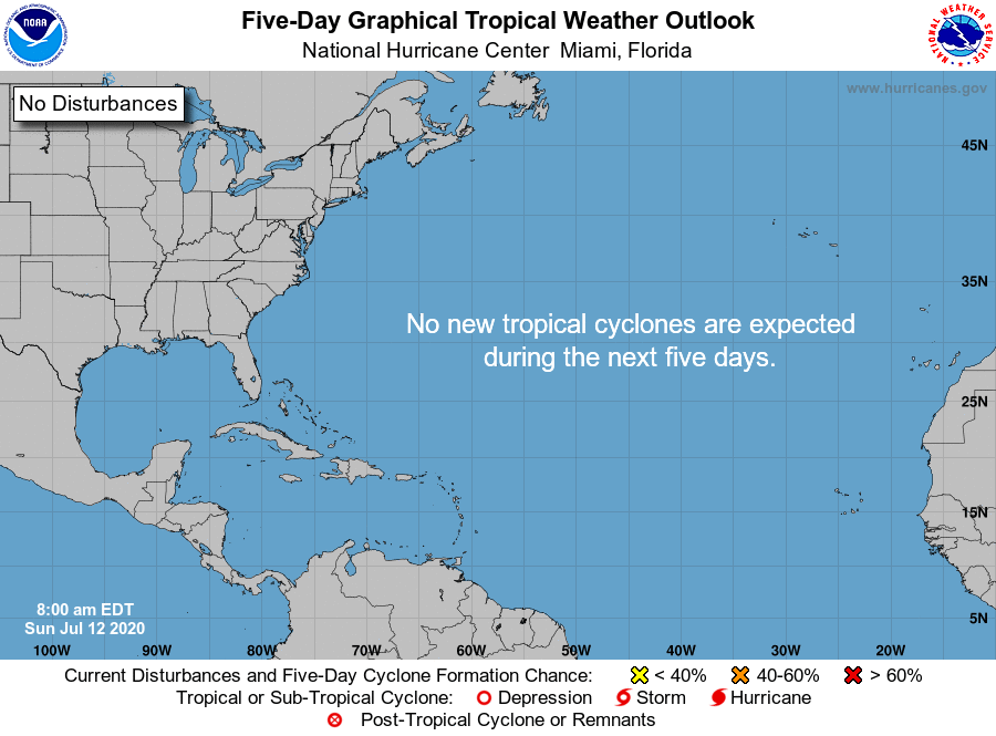
ATLANTIC Tropical Weather Outlook
| Atlantic – Caribbean Sea – Gulf of Mexico | |
|---|---|
| Tropical Weather Outlook (en Español*) 800 AM EDT Mon Jul 13 2020 |
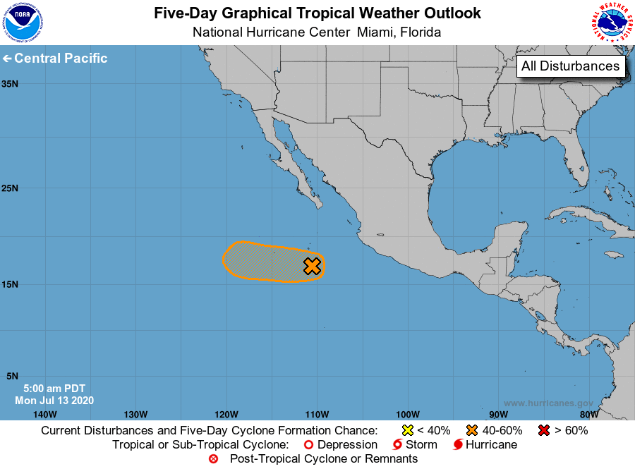
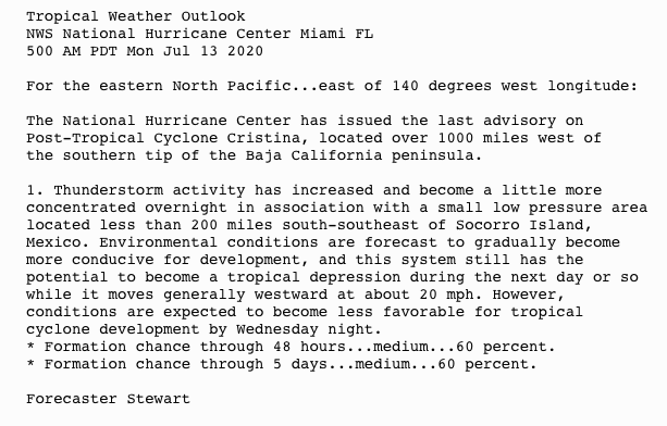
| Eastern North Pacific (East of 140°W) | |
|---|---|
| Tropical Weather Outlook 500 AM PDT Mon Jul 13 2020 |
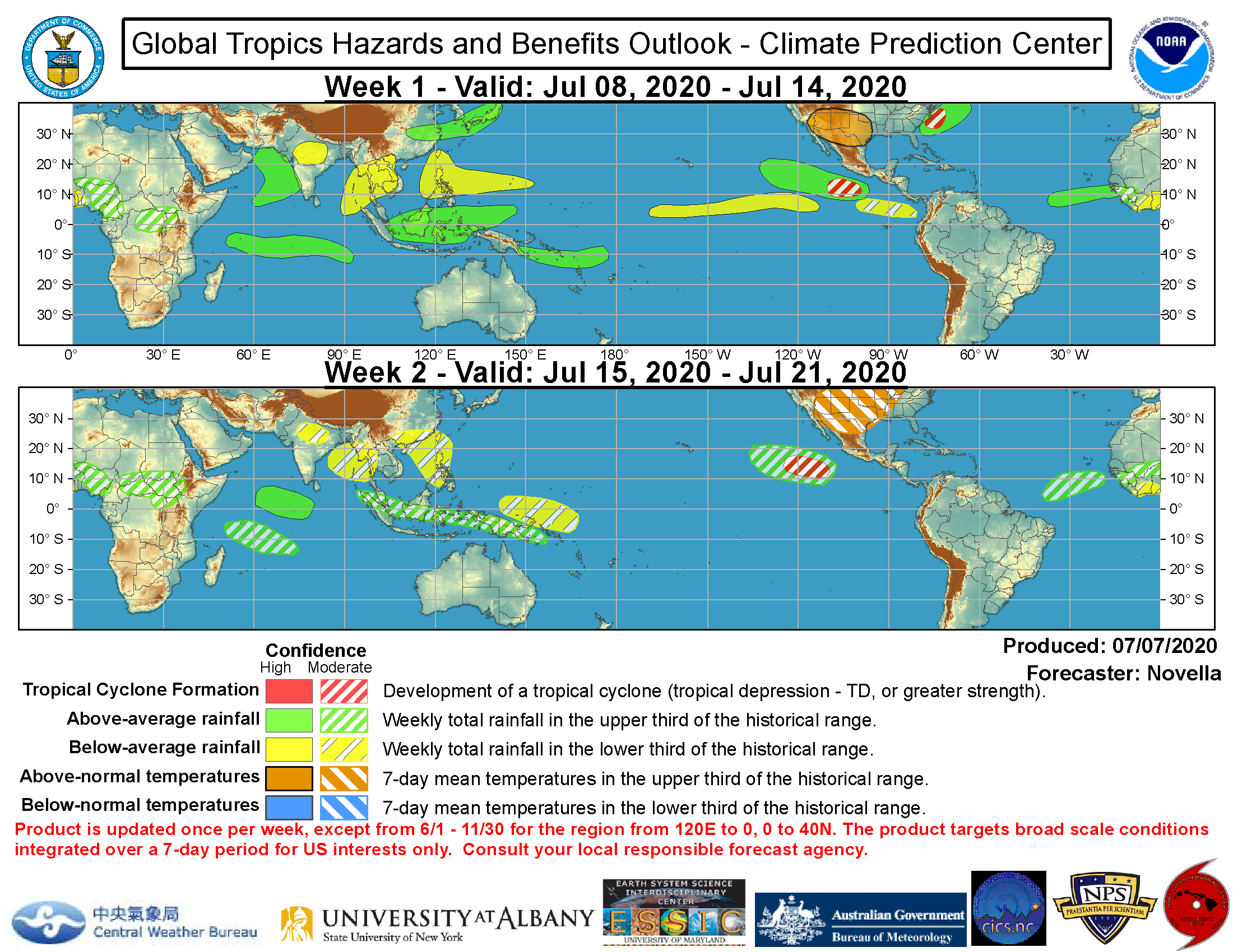
CLIMATE PREDICTION
Weather in Cayman

SYNOPSIS
A decrease in cloudiness and showers along with light easterly winds are expected over the Cayman area for the next 24 hours as a tropical wave continues to move west and away from the Cayman Islands. Further east, another tropical wave, currently over the central Caribbean moving west at 10 knots, is expected to move into the Northwest Caribbean Tuesday afternoon.
Humidity: 88% (DOWN from yesterday)
UV: 12,4 EXTREME (UPN from yesterday)
Temperature: Today’s expected temperatures – 76° to 92°F. Yesterday: H 90.9°F L 75.7°F
Winds: Today: ENE 10-15 mph Tonight: ENE 5-10 mph
Barometer: 1014.90 mb Steady
Rain: Last month: 1.96 in
Last 24 hrs (since yesterday’s reading) 0.00 in
This month: 8.90 in
1 day since rain, 6 rain days in Jul
2019 Season Total: 30.21 in
2020 Season Total: 23.38 in
Latest rainfall readings are from NORTH SOUND.
Average rainfall in Jul 6.9 in.
Average temperature in Jul: 77°F to 90°F
Sea Temperature in Jul: 84°F
MOON: 45% illumination

Tides, Moonrise, Moonset, and Moon Phases, July 2020

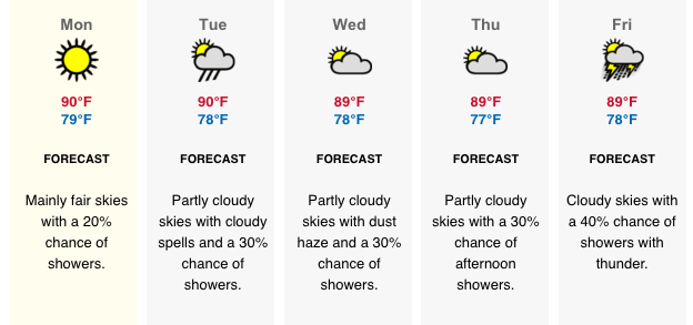
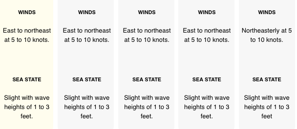
LOCAL 5 DAY FORECAST
See: http://www.weather.gov.ky/portal/page?_pageid=4421,7428393&_dad=portal&_schema=PORTAL
FOR RADAR IMAGE GO TO: http://www.weather.gov.ky/portal/page/portal/nwshome/forecasthome/radar
Also see Weather In Cayman: http://www.weatherincayman.com/
Moon info and graphic: https://www.timeanddate.com/moon/uk/georgetown
Tropical storm data and graphics from National Hurricane Center at: https://www.nhc.noaa.gov/
Weathernerds: http:// https://www.weathernerds.org/
Mikes Weather Page: http://www.spaghettimodels.com


